
Under the Danish Soil Contamination Act (jordforureningsloven), soil contamination is registered at two levels of knowledge. V1 means ‘possibly contaminated’, and V2 means ‘confirmed contaminated’ (source: Miljøstyrelsen, the Danish Environmental Protection Agency).
The regions map, prioritise and manage public efforts against soil contamination in Denmark (source: Miljøstyrelsen). V1 mapping requires firm knowledge that the site has been used for an activity that experience shows can contaminate the soil, for example a car repair workshop or a dry cleaner’s (source: Bolius). It is not a guess, but a registration based on documented use of the plot.
When a plot is mapped, the region sends a mapping letter to the owner (source: Miljøstyrelsen). That is how you, as the owner of the plot, are officially notified.
This article explains the difference between V1 and V2, how to look up your plot yourself, which rules apply to building work and moving soil, and what options buyers and sellers have.
V1 and V2: from suspicion to confirmed contamination
V1 and V2 cover two different degrees of knowledge about a plot. V1 mapping is based on information about past and any current activities that may have caused soil contamination, and technical investigations have not necessarily been carried out (source: Miljøstyrelsen). The plot is registered because it is known what it has been used for, not because anything has been found in the soil.
V2 mapping requires documentation of the contamination, as a rule based on technical investigations, and it takes place when the contamination may pose a risk to people or the environment (sources: Bornholms Regionskommune and Miljøstyrelsen). At this stage, it is no longer a presumption but a result that can be presented.
In practice, the difference lies in what has been proven. A possibly contaminated plot is one where past activities give reason to investigate further, while a plot mapped as contaminated is one where investigations have been carried out and contamination confirmed. The movement is from suspicion to confirmed contamination, and it is this movement that determines what the plot is then registered as.
Residential properties mapped at V2 after 1 January 2007 are automatically graded into the categories F0, F1 or F2 according to the risk (source: Miljøstyrelsen and the regions). The grading says something about how accessible the contamination is, given the way the property is actually used.
-
F0 means that the contamination is not accessible in normal use, for example because there is at least 0,5 metres of uncontaminated soil, a building or a hard surface on top.
-
F1 means that the top 0,5 metres of soil is slightly contaminated, but there is no risk if you follow some simple advice.
-
F2 means that the contamination may affect how the house and garden can be used. It could be heavy contamination close to the surface or contamination that can affect the indoor air quality. The region also often assigns F2 when the contamination has not yet been investigated thoroughly enough (source: the regions’ leaflet on the grading of soil contamination).
If you need to assess what a specific grading means for a particular property, that is a job for a professional with expertise in soil contamination and the rules that apply.

How to check whether your plot is mapped
You do not need to wait for a certificate or a letter from the region to find out whether your plot is registered. You can look up soil contamination yourself.
-
Go to Danmarks Arealinformation, search for the address, and see whether the plot is mapped at V1 or V2 and whether it is area-classified.
-
Select Lagkatalog / Miljøbeskyttelse: Forurening / Jordforurening / Områdeklassificering (layer catalogue / environmental protection: contamination / soil contamination / area classification) to see the area classification.
-
Contact your region for information about mapping. The regions have information about soil contamination on their websites.
If the area classification information in a certificate seems wrong, you can get an overview at Danmarks Arealinformation or contact the municipality. Inaccuracies or changes in the cadastral map can in some cases mean that a plot wrongly overlaps another plot, which can affect the area classification information (source: Danmarks Miljøportal). If you discover a discrepancy, do not try to correct it yourself. Take it up with the municipality or a professional who knows the rules.
Area classification: slightly contaminated soil without mapping
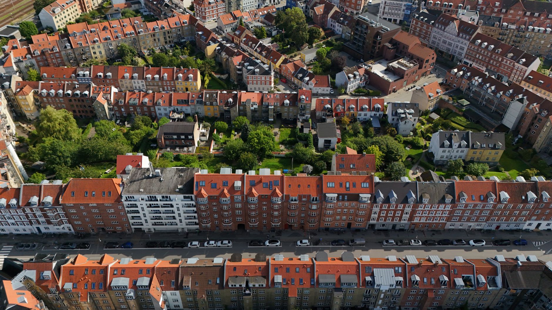
Slightly contaminated soil is usually not mapped. Instead, larger contiguous areas of slightly contaminated soil are area-classified, and since 1 January 2008, urban zones have as a rule been included (source: Miljøstyrelsen). Slight contamination is no longer registered plot by plot, but collectively for whole neighbourhoods and districts.
The definition is found in § 50 a of the Soil Contamination Act. Here, the urban zone is classified as an area that may be slightly contaminated (source: Danmarks Miljøportal). This is not a finding on the individual plot, but a general presumption that applies to the area as a whole.
In practice, this means that all urban zone land in Denmark is, as a starting point, area-classified. It is assumed that the soil may be slightly contaminated from diffuse sources such as traffic, heating and urban activity. The contamination does not come from one particular business at one particular address, but from the many small contributions that have built up in towns and cities over decades. However, the municipality can exempt larger contiguous areas within the urban zone and include areas outside it, for example old areas of filled land (source: Miljøstyrelsen).
Area classification is something different from V1 and V2. V1 and V2 involve mapping specific sites, while area classification is a general assumption about a larger area. You can live in an area covered by area classification without your plot being mapped at V1 or V2. Conversely, a single plot can be mapped without that saying anything about how the whole area is registered.
The difference determines which rules apply when you build, dig or move soil. Soil from an area-classified site must also be reported to the municipality before it is moved, while the requirement for a permit for building and construction work applies to mapped plots.
Rules for building work, moving soil and selling mapped plots
A plot registered as V1 or V2 triggers specific requirements before you build, dig or move soil. The rules are set out in the Soil Contamination Act, and you should know them both when you start a project and when you are getting ready to sell.
Two rules keep coming up on a mapped plot:
-
Building and construction work on a plot registered at V1 or V2 requires a permit from the municipality under § 8 of the Soil Contamination Act (lov om forurenet jord). If only part of the plot is mapped, the requirement applies only to that part (source: Bornholms Regionskommune).
-
Soil from a mapped plot must not be moved off the property until the move has been reported to the municipality (sources: Bornholms Regionskommune and Danmarks Miljøportal).
When it comes to selling, there are several routes you can take, depending on what the plot is registered as. If the property is mapped at V1, you can sell it as V1-mapped and let the buyer investigate whether the contamination matters. Alternatively, you can have a V2 investigation carried out before the sale, on the basis of which the region assesses whether the mapping is justified or whether it may be lifted (source: Bolius).
If, on the other hand, contamination is suspected but the plot is not mapped, you can ask the buyer to find out whether the plot is contaminated. You can also ask the region for a V1 mapping, which will show whether the suspicion is unfounded or justified (source: Bolius).
Which route makes sense in your particular case depends on how the plot is registered and on what is going to happen to the property. Make the assessment with a professional who knows the Soil Contamination Act and the region’s practice.
The loss-of-value scheme and the option of having the plot investigated or cleaned up
The regions administer the loss-of-value scheme (værditabsordningen), which helps homeowners who have unknowingly bought a contaminated plot. The rules are set out in chapter 4 of the Soil Contamination Act (source: Miljøstyrelsen and the regions).
To use the scheme, a number of conditions must be met:
-
Among other things, the property must have been contaminated before 1 September 1993. If the contamination comes from a domestic heating oil tank, the property is also covered if the contamination was identified before 1 March 2000 (source: Miljøstyrelsen and the regions).
-
The plot must have been contaminated when you bought it, and you must neither have known nor ought to have known about it.
If a sale is coming up, it is the seller who must apply to join the loss-of-value scheme, and the region must receive the application before the sale is agreed. As a buyer, you also have options. If the region approves the seller’s application, the right to have the need for clean-up investigated passes to you. So wait for the region’s assessment before you sign (source: the regions’ leaflet on the loss-of-value scheme).
If the region’s investigation shows that a clean-up is needed, you pay a contribution of between 15.000 and 40.000 kr. yourself. There are more applications than funds, so there is a waiting list, and it can take many years before a clean-up is carried out. A clean-up might, for example, involve digging away the top layer of contaminated soil, usually around half a metre, or covering it with clean soil. If the contamination has been removed completely, the plot is removed from the mapping. If some contamination remains, the region issues a residential declaration (boligerklæring) stating that it has no harmful effect on the use of the house and garden (source: the regions’ leaflet on the loss-of-value scheme).
Questions about a specific case should be clarified with the region or a relevant professional.
Leave a comment