
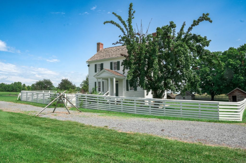
The property boundary (skel) is the legal line registered in the Danish cadastre (matriklen). It does not necessarily run where the hedge or fence stands today, and that is the most important thing to know when you check the boundaries before buying a home. A fence may have been moved, a hedge may have been planted slightly crooked, and a previous owner may have used a strip of the neighbouring plot for years, without any of this changing where the boundary officially runs.
The cadastral map (matrikelkort) is the place to start if you want to find the official position. It shows the boundaries between all plots of land in Denmark, and each plot has a unique cadastral number (matrikelnummer). Geodatastyrelsen (the Danish Geodata Agency) maintains and updates the map. The map is for guidance only, and you should bear that in mind throughout. Physical markers such as boundary posts are set by a land surveyor and may lie below ground, so a metal detector can help you find them. There are also official documents, which are described in more detail later in this article.
This article gives a legally grounded overview of where the boundary actually runs, which rules apply to boundaries and fences, planting and building close to the boundary, and how a disagreement with your neighbour is settled. The aim is to help you make informed decisions when buying a home and in any boundary dispute. It does not promise a particular outcome and does not give advice on individual cases.
Cadastral maps and boundary lines are only a guide
When you need to find out where the boundary actually runs, there are several sources, and they do not carry equal weight. Always treat the cadastral map as a guide only, however precise it looks on screen. Only a land surveyor’s staking-out on site is binding, and that is what counts if a disagreement arises later.
Here are the sources you can check, depending on what you need:
-
The cadastral map shows the boundaries between plots of land and gives you a quick overview of the boundary lines. It is a good place to start, but it is not binding, and you cannot use it as proof that the boundary runs exactly where the line is drawn.
-
The boundary measurements are held in the cadastral case files in Geodatastyrelsen’s archive. As a private individual, you generally cannot order them from Geodatastyrelsen yourself, but a practising land surveyor can retrieve them for you. This is the documentation you use when you want the boundary established with figures and not just a line on a map.
-
The survey sheets (måleblade) are the documents that give the measurements to the boundary. They are typically drawn up when a specific plot is subdivided and contain the actual measurements, so they are more precise than an overview map. If the plot has been subdivided, it is worth digging out this particular sheet.
-
Municipal GIS maps are often based on digitised old maps with considerable inaccuracies. They therefore cannot be used as proof of where the boundary lies, even though they are easy to find online.
So the maps and documents carry different weight, and what you see on a screen is not the same as what an official survey says. The binding decision lies with the land surveyor, who marks out the boundary on site.
Rules for boundary posts and physical boundary markers
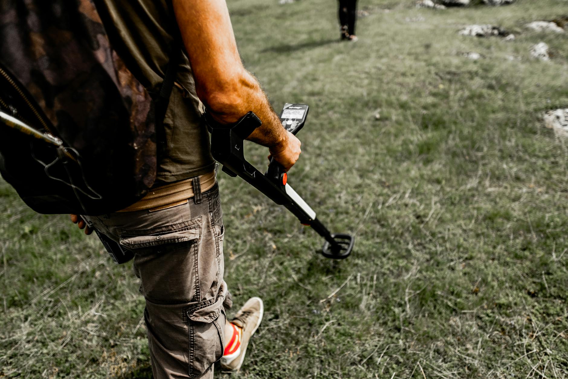
A boundary post (skelpæl) is a physical marker that a land surveyor has placed in the ground. It may be a pipe, an iron pin or a concrete post, and it marks where the boundary was set out when the work was done. The marker may lie below ground, so you will not necessarily find it just by looking at the plot.
You often need a metal detector, and even then the post may be covered by grass, soil or a layer of paving added later. The position of the boundary posts on site is not binding in itself. A marker may have been moved, damaged or have disappeared altogether, and that does not change where the boundary legally runs. Only a current boundary determination (skelforretning) fixes the boundary legally. That is why you cannot rely on an old post alone if a disagreement arises later. In other words, what matters is the documentation behind the marker, not the post itself.
If the post has gone, all is not necessarily lost. Missing boundary posts can be re-established by combining historical survey data, cadastral maps and a modern survey on site. In other words, the land surveyor assesses the case on the basis of both the figures from the past and the conditions on the ground, so that a new marking-out can end up in the same place as the original. With new subdivisions, the boundaries are typically surveyed precisely, whereas older boundaries can be less certain, because they were set out using the methods of the time and may never have been checked since. The older the boundary, the more weight the documentation and a new survey carry compared with any marker you may find in the ground.
Shared fences and the Fencing Act: what applies to your fence?
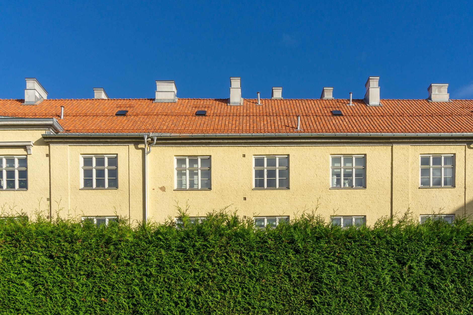
The Danish Fencing Act (hegnsloven) covers two main types of fence along a boundary: shared fences (fælleshegn), where both neighbouring properties give up land, and your own fences (egne hegn), which stand on your own plot along the boundary. The current version is Consolidated Act no. 1040 of 10 July 2023. Besides these two, there is a third type, interior fences (indre hegn), which fall outside the scope of the Act.
| Type of fence | What it is | Where it must stand | Legal basis |
|---|---|---|---|
| Shared fence | Both adjoining properties contribute land | The boundary line must run through the middle of the fence (section 9), and the fence must suit the character and use of the properties (section 10) | Fencing Act (hegnsloven), consolidated act of 2023 |
| Own fence | A fence put up on your own land along the boundary | Must stand on your own land, not on the boundary line, and no more than 1,75 metres from the boundary | Fencing Act (hegnsloven), consolidated act of 2023; Bolius |
| Internal fence | A fence that does not follow the boundary line or stands more than 1,75 m from the boundary | Anywhere on the plot | Not covered by the Fencing Act, but the local plan, easements and the homeowners’ association’s rules can still set limits |
What separates a shared fence from your own fence is where the fence stands in relation to the boundary line. Internal fences fall outside the scope of the Act, but that does not mean you can do as you please. The local plan, easements (servitutter) and the homeowners’ association’s rules can set tighter limits, and you must always comply with them.
Rules on fence height for homes
How high your fence may be depends first and foremost on whether it is a shared fence or your own fence. Each type has its own starting point in the Fencing Act, and the rules on fence height are based on precisely that difference.
In residential areas, the height of a shared fence should be set at 1,80 m, and the fence must not exceed 2 m without your neighbour’s consent. This follows from section 10(6) of the Fencing Act, in the consolidated act of 2023. If you and your neighbour disagree about the height, 1,80 m is the starting point.
A different calculation applies to a fence of your own. It may be no higher than a shared fence plus an allowance equal to the distance from the fence to the boundary line, under section 2 of the Fencing Act. If the fence stands 0,5 m from the boundary, it can therefore be up to 2,3 m high, because 1,8 m plus the 0,5 m makes 2,3 m. If you move the fence closer to the boundary, the allowance gets smaller, and if you move it further away, the allowance gets larger.
Either neighbour can require a shared hedge to be cut back once a year to:
-
2 m in residential areas.
-
5 m between land used for farming, market gardening and horticulture, and between such land and woodland, where the shelter effect is significant.
-
3,5 m for other shared hedges.
Source: section 18 of the Fencing Act, consolidated act of 2023; Bolius.
Local plans, easements and the homeowners’ association’s rules can set tighter limits on fence height than the Act’s starting points. They must always be followed, whatever the Fencing Act would otherwise allow, so check them before you put up or cut back a fence.
Fence inspections and boundary determinations: how a boundary dispute is settled
Only a practising or licensed land surveyor can establish a boundary, and this is done through a boundary determination (skelforretning). Both the documents and the actual conditions on site are examined. The boundary the land surveyor marks out becomes binding if you and your neighbour accept it in writing, or if neither of you takes legal action within 8 weeks of receiving written notice of it. A court case about where the boundary lies can only be brought once a boundary determination has been held. However, the rules on boundary determinations do not apply in Københavns Kommune (Copenhagen Municipality). If the home is there, a land surveyor can tell you what applies instead.
The process follows a fixed sequence:
-
A request from a party. One of the parties asks for the boundary determination, and that is what sets the case in motion. Without a request, there is no determination.
-
Notice to the neighbours concerned. The neighbours affected by the boundary are called to a meeting. Everyone with an interest in the boundary must have the chance to attend.
-
Surveying and documentation based on cadastral maps, aerial photos and earlier surveys. The land surveyor takes measurements on site and draws on both maps and older surveys to arrive at the binding marking-out of the boundary.
The meeting takes place on site, and it pays to come prepared. Bring the title deed and registered declarations, the cadastral map, older survey sheets and surveys, aerial photos taken over the years, photos of fences, hedges and boundary markers, and contact details for people who can explain how the area has been used. Previous owners, neighbours and tradespeople can all help shed light on the case.
A fence inspection (hegnsyn) is something else. The fee for a fence inspection is 2.205 kr. in 2026, and it is usually paid by the party the decision goes against (source: Executive Order no. 1549 of 3 December 2025 and section 46 of the Fencing Act). The fence inspection board can set the dimensions of a shared fence, including its height, and it can rule on who must maintain it and how the costs are shared, under the Fencing Act, consolidated act of 2023.
The boundary determination establishes where the boundary lies, while the fence inspection deals with the fence and the relationship between the neighbours.
Carport close to the boundary: requirements under the Building Regulations
As a rule, a carport, garage, shed or greenhouse must be placed at least 2,5 metres from the boundary with a neighbour, road or path. This follows from the Building Regulations 2018 (BR18). The 2,5 metres is not a recommendation but the starting point the municipality uses to assess your building project.
If you build closer than 2,5 metres, the requirements become stricter. It is then not enough for the structure to look sensible, because there are a number of fixed limits you must stay within:
-
The maximum height at the boundary is 2,5 metres, measured from ground level to the building’s highest point.
-
There must be no openings facing the boundary.
-
The total length of the sides facing the boundary must not exceed 12 metres when the buildings are closer than 2,5 metres to the boundary. Only the buildings’ longest side facing the boundary counts.
Source: BR18.
The height is measured to the building’s highest point, not just to the walls. A roof or an overhang can therefore be what tips you over the limit if you build a carport close to the boundary. The rules apply whether or not the building work requires a permit, and a carport or garage must be registered in BBR (the Danish building register) once it has been built.
The local plan, easements and the homeowners’ association’s rules can impose stricter requirements than the Building Regulations. A local plan may, for example, ban a carport on the boundary or set requirements for materials, appearance and roof pitch, and you must comply with provisions like these, whatever the Building Regulations would otherwise allow.
The distance requirements also depend on the type of building and the total area you build. That is why it is the municipality that decides what applies in your particular case. Check the local conditions before you start, and ask the municipality if you are in doubt.
Planting on the boundary and a quick summary
With planting on the boundary, the first question is whether it counts as a fence in the legal sense at all. A hedge, a board fence, a rail fence, a wire fence or a wall can all be classed as a fence, and so can a row of trees. For a row of trees to become a fence, the trees must be uniform and of the same size, stand close together, be no more than 1,75 metres from the boundary and run along a significant part of the boundary’s length. If those criteria are met, the trees are treated as a fence, not as loose planting you can freely plant and fell.
There are also limits on what a hedge may consist of. It must not contain trees or shrubs that are poisonous or that can spread plant diseases. That rule is worth checking before you plant a hedge or let one grow up, because however good it looks, the plants themselves can make the hedge unlawful.
A carport or a shed, on the other hand, can stand on the boundary and replace a fence. Just be aware that the rules then no longer come from the Fencing Act but from the Building Act (byggeloven). This means that a complaint about whether the building is lawful goes to the municipality and is not dealt with as a fence case.
A hedge on the boundary and a building on the boundary are not assessed under the same set of rules. The rules come from different places, and that decides where you turn and who can make a decision. In addition, the local plan, easements and the homeowners’ association’s rules can set tighter limits than the law does, and you must comply with them whatever the Fencing Act or the Building Regulations would otherwise allow.
Key takeaways
The cadastral map is only a guide, and only a land surveyor’s marking-out on the ground is binding. That applies however precise a line on the screen may look. The local plan, easements and the homeowners’ association’s rules can impose stricter requirements than the law’s starting points, and the distance requirements for building work depend on the type of building and the total area you build. It is the municipality that decides what applies in your particular situation.
The next step is therefore to look at the cadastral map and have a land surveyor dig out the survey sheets with the boundary’s measurements. If you are in doubt, or you disagree with your neighbour about the boundary, the way forward is a land surveyor who can assess the specific circumstances. If the disagreement is about the fence itself, the fence inspection board is where you should turn.
Leave a comment